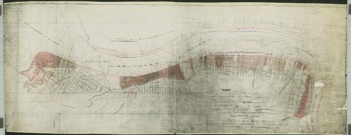
Map Showing the Lands Under the Waters of the Delaware River Opposite the Cities of Gloucester and Camden, 1873 [annotated]
Permanent ID:
12739Date:
1873Image Description:
Map with notes showing the lands under the waters of the Delaware River opposite the cities of Gloucester and Camden and the exterior wharf line, established by the Riprarian Commissioners of the State of New Jersey in 1873.This oversize item is found in the Series 25: Maps and Surveys (1683-1961, undated) section of the Chew Family Papers collection.
Address:
Gloucester CityCamden