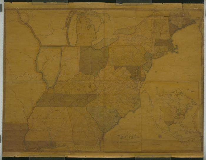
Map of the United States, 1804
Permanent ID:
12858Date:
1804Image Description:
Map of the United States, 1804, "exhibiting the post-roads, the situations, connexions & distances of the post-offices, stage roads, counties, & principal rivers, by Abraham Bradley Jr."This oversize item is found in the Series 25: Maps and Surveys (1683-1961, undated) section of the Chew Family Papers collection.