Bromley's Atlas of Philadelphia, 1885 [Volume 1]
Permanent ID:
13448Call number:
O .728 v. 1 1885Date:
1885Image Description:
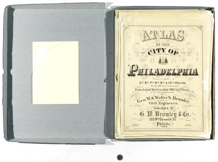
Full title: Atlas of the City of Philadelhia, Volume 1. 5th, 6th, 7th, 8th, 9th & 10th Wards. Scale 80 feet to an Inch. From Actual Surveys and Official Plans of the Survey Department. Geo. W. & Walter S. Bromley. Civil Engineers. Published by G.W. Bromley & Co. 120 Nth Seventh St. Philada. 1885.The binding and cover to this Atlas no longer exists. All of the maps are kept together in a box.
This online record only contains images of the title page, the outline & index map, and plate P (Lombard to South Street between 4th and 9th Streets).
Inscription:
Engraved by A.H. Mueller. 530 Locust St.Phila.Printed by F. Bourquin 31. So. Sixth St. Phila.
Entered according to Act of Congress in the Year 1885. by G.W. Bromley & Co. in the Office of the Librarian of Congress, at Washington, D.C. (small print on bottom of title page)
Format:
MapDimensions:
Width: 72 cm, Height: 47.6 cmLibrary of Congress Subjects:
Atlases of the world [info:lc/authorities/names/no2010066867]
United States--Historical geography--Maps [info:lc/authorities/subjects/sh85140128]
Bromley, Mr. (Thomas), -1841 [info:lc/authorities/names/no2014092723]
United States--Historical geography--Maps [info:lc/authorities/subjects/sh85140128]
Bromley, Mr. (Thomas), -1841 [info:lc/authorities/names/no2014092723]