[BLANK]
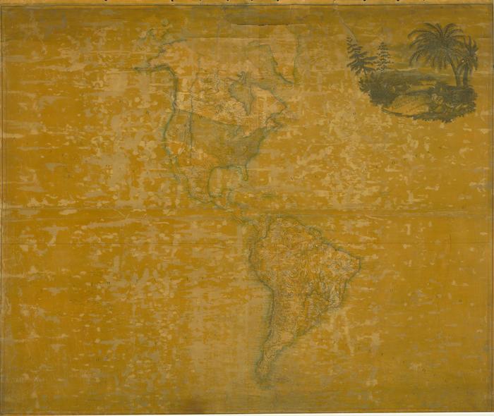
Map of America, 1820
Permanent ID:
12845Date:
1820Image Description:
Map of America, 1820, by Aaron Arrowsmith and published in Philadelphia by Kimber & Conrad and Johnson & Warner. The map shows North and South America, with no other continents in view.This oversize item is found in the Series 25: Maps and Surveys (1683-1961, undated) section of the Chew Family Papers collection.
Format:
MapDimensions:
Width: 57.5 in, Height: 47 inCollection:
Chew Family papersRelated People or Organizations:
Arrowsmith, Aaron, 1750-1823 (cartographer)Kimber & Conrad (publisher)
Johnson & Warner (publisher)