[BLANK]
Topographical map of the State of New Jersey, 1883
Permanent ID:
12860Date:
1883Image Description:
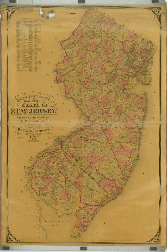
Topographical map of the State of New Jersey, 1883, from actual surveys and official records by G. W. Bromley & Company. Engraved by A. H. Mueller and published by George W. & Walter S. Bromley, Philadelphia.This oversize item is found in the Series 25: Maps and Surveys (1683-1961, undated) section of the Chew Family Papers collection.
Format:
MapDimensions:
Width: 47 in, Height: 58 inCollection:
Chew Family papersRelated People or Organizations:
G.W. Bromley & Co. (creator)Bromley, George Washington (publisher)
Mueller, A. H. (engraver)
Bourquin, F. (Frederick), 1808- (lithographer)
Bromley, Walter Scott (publisher)