Maps of regions in France, Germany and Switzerland, circa 1916
Permanent ID:
10629Date:
circa 1916Image Description:
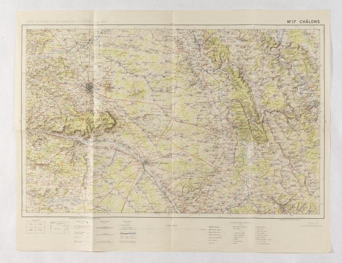
These are regional maps which show towns, roads, rivers, elevations, and mountain ranges in France, Germany, and Switzerland circa 1916. These maps are from the papers of Captain Stephen H. Noyes, who served as an American aviator in France during WWI.Format:
MapCollection:
Stephen H. Noyes papersRelated Person or Organization:
Stephen H. Noyes, 1881-1932 (relates to)Library of Congress Subjects:
World War, 1914-1918--Aerial operations [info:lc/authorities/subjects/sh85148237]