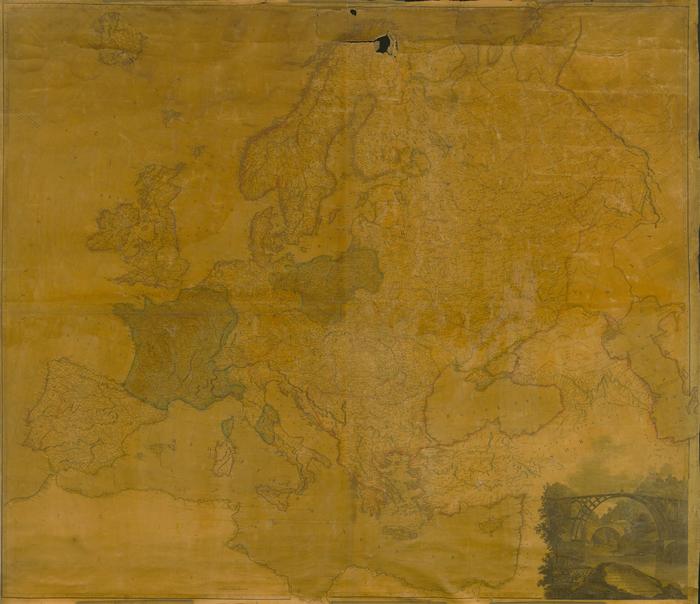
Map of Europe, 1820
Permanent ID:
12851Date:
1820Image Description:
Map of Europe, circa 1820, by Aaron Arrowsmith, engraved by W. & S. Harrison, and published in Philadelphia by Kimber & Conrad and Johnson & Warner.This oversize item is found in the Series 25: Maps and Surveys (1683-1961, undated) section of the Chew Family Papers collection.
Format:
MapDimensions:
Width: 57.25 in, Height: 48 in (image)Collection:
Chew Family papersRelated People or Organizations:
Arrowsmith, Aaron, 1750-1823 (cartographer)Kimber & Conrad (publisher)
Johnson & Warner (publisher)