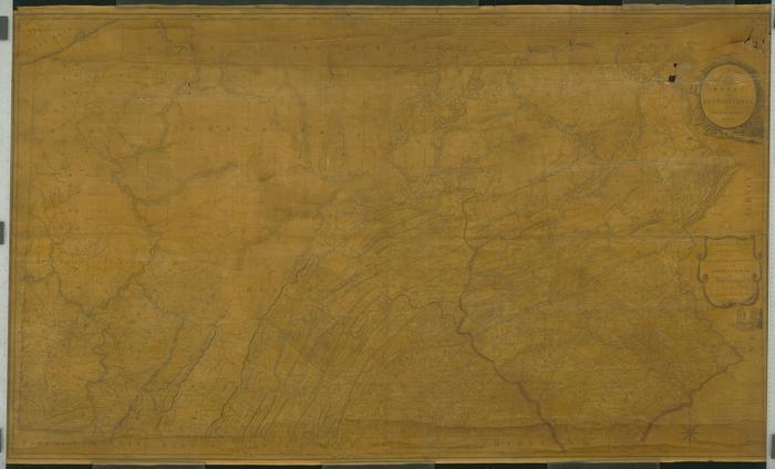
A Map of the State of Pennsylvania, 1792. By Reading Howell.
Permanent ID:
12903Date:
1792Image Description:
Map of the State of Pennsylvania, 1792, by Reading Howell. The map is dedicated to Thomas Mifflin, Governor of Pennsylvania, and features include Indian towns and paths, furnaces, forges, grist and saw mills, and minerals.This oversize item is found in the Series 25: Maps and Surveys (1683-1961, undated) section of the Chew Family Papers collection.
Format:
MapDimensions:
Width: 64 in, Height: 36 in (image)Collection:
Chew Family papersRelated People or Organizations:
Reading Howell, 1743-1827 (cartographer)Mifflin, Thomas, 1744-1800 (relates to)