Bromley's Atlas of Philadelphia, 1896 [Volume 2]
Permanent ID:
13450Call number:
O .728 v. 2 1896Date:
1896Image Description:
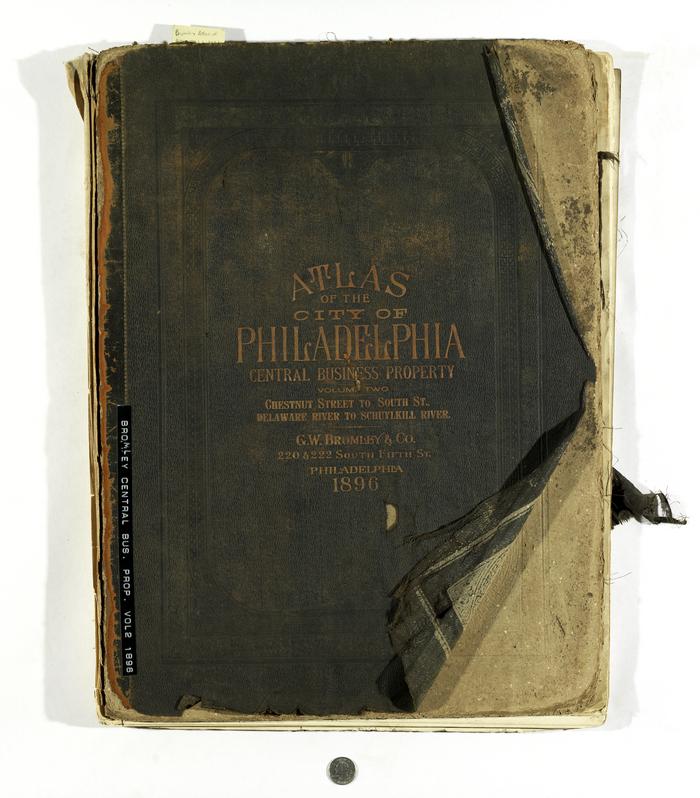
Full Title: Atlas of the City of Philadelphia Central Business Property Volume Two. Chestnut Street to South Street, Delaware River to Schuylkill River, from Actual Surveys & Official Plans by George W. and Walter S. Bromley, Civil Engineers. Published by G.W. Bromley and Co. 222 S. Fifth St. Philadelphia. 1896This atlas is in poor condition and many of its pages are no longer attached to the binding and can be removed for individual imaging.
This online record only contains images of the cover, title page, the Index and Outline map, and Plate 18 (depicts Pine to South street and 19th to 16th street)
Inscription:
Entered according to Act of Congress in 1896 by G.W. Bromley & Co. in the Office of Librarian of Congress at Washington D.C.R. Spiel Phila. (small print near bottom of title page)
Format:
MapDimensions:
Width: 82.5 cm, Height: 57 cmRelated Person or Organization:
G.W. Bromley & Co. (publisher)Library of Congress Subjects:
Atlases [info:lc/authorities/subjects/sh85009231]
Center City District (Philadelphia, Pa.) [info:lc/authorities/names/n89110897]
Bromley, George Washington [info:lc/authorities/names/n50081503]
Center City District (Philadelphia, Pa.) [info:lc/authorities/names/n89110897]
Bromley, George Washington [info:lc/authorities/names/n50081503]