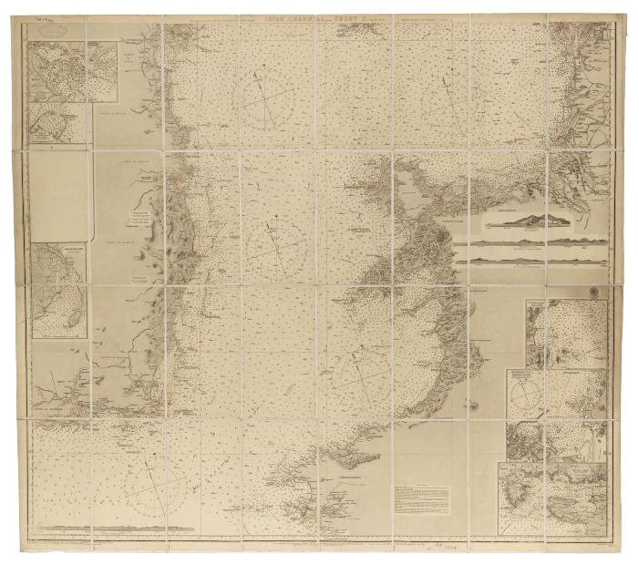
Irish Channel - Sheet II map, 1868
Permanent ID:
15343
Call number:
Of 1334
Date:
1868
Image Description:
Map of the Irish Channel, cut and mounted on linen for folding. Detail maps along the sides show Lough Carlingford, Kingstown Harbour, Waterford Harbour, Milford Haven, Holyhead Bay, and St. Tudwall's Roads.
Format:
Map