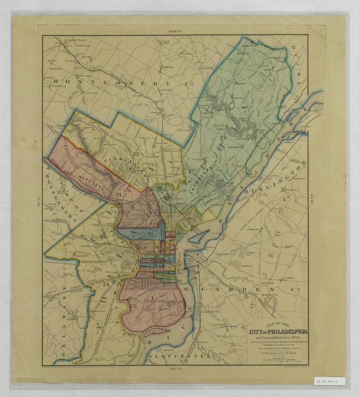
Map of Philadelphia as consolidated in 1854
Permanent ID:
6028
Call number:
Of 610* 1854 W
Date:
1854
Image Description:
Map of the City of Philadelphia as consolidated in 1854. Showing its various towns, villages, railroads, streams, turnpike, and other roads. Also portions of the adjacent country.
Inscription:
Drawn and engraved by W. Wilhams.
(bottom corner on right-hand side)
Address:
Philadelphia
Format:
Map