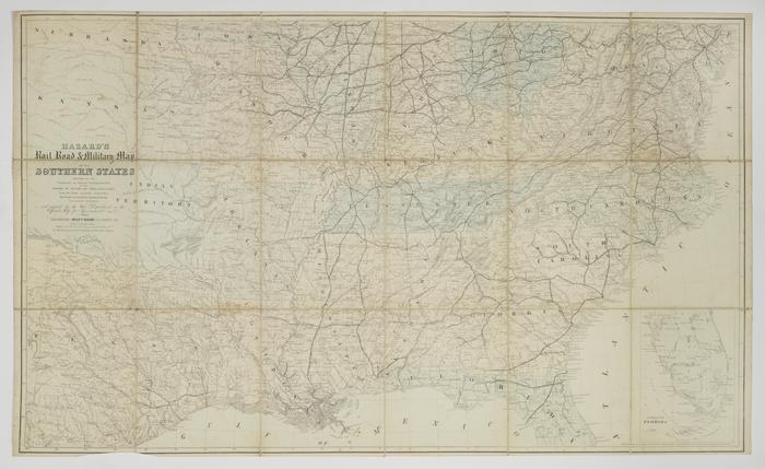
Hazard's Rail Road and Military Map of the Southern States
Permanent ID:
8416Call number:
Of 420 1862hDate:
1862Image Description:
Hazard's Rail Road and Military Map of the Southern States Prepared by the Committee on Inland Transportation of the Board of Trade of Philadelphia from the latest accessible authorities The Coast accurately drawn from the U.S. Coast Surveys and adopted by the War Department as the official map for government use.Address:
724 Chestnut Street, PhiladelphiaFormat:
MapDimensions:
Width: 132 cm, Height: 78 cm (image)Related People or Organizations:
P.S. Duval & Co (lithographer)Hazard, Willis P. (Willis Pope) (publisher)